Last updated on 20th March 2025
Erebuni
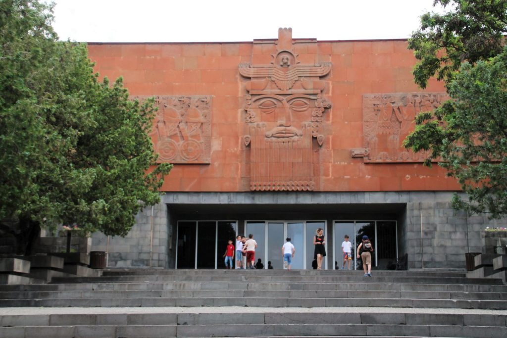
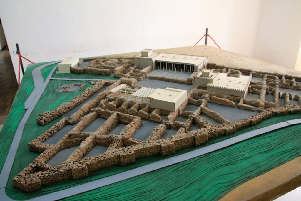
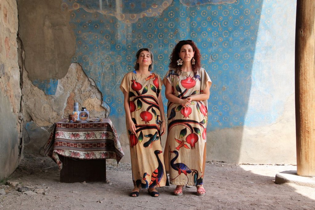
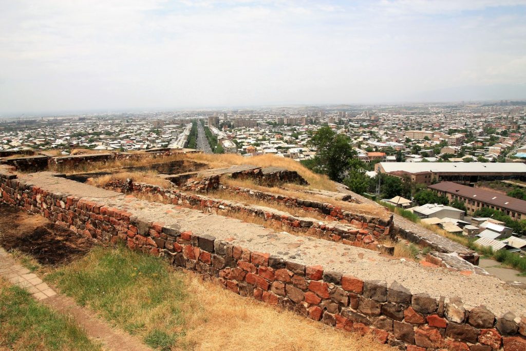
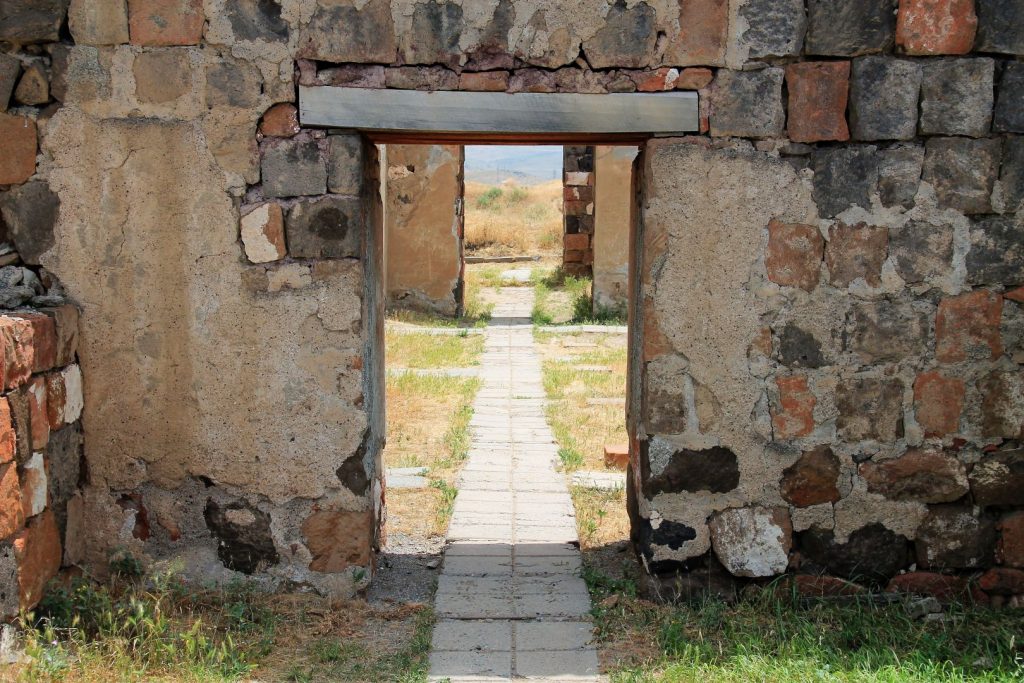
About 8 km southwest the City Centre on top of a little hill the ruins of Erebuni were found. This fortress dates back to 782 BC when Argishti I, the first king of Urartu, founded the settlement here. The excavations of the place revealed many objects from the life at that time and can be admired at the foot of the hill in the museum. Entrance is 1000 Dram, and for the permission to take photos another ticket must be purchased. Which I did not do. The hilltop today shows the ruins of the old place, basically the remains of the walls; and also gives a nice view onto Yerevan from another perspective. On our way to the top we were invited by some professional singers who performed three Armenian songs for us, wearing their traditional costumes. Their voices were clear and full and surely they were professionals. We were amazed. They did not accept any donation but sadly no one bought a CD.
Nurabashen
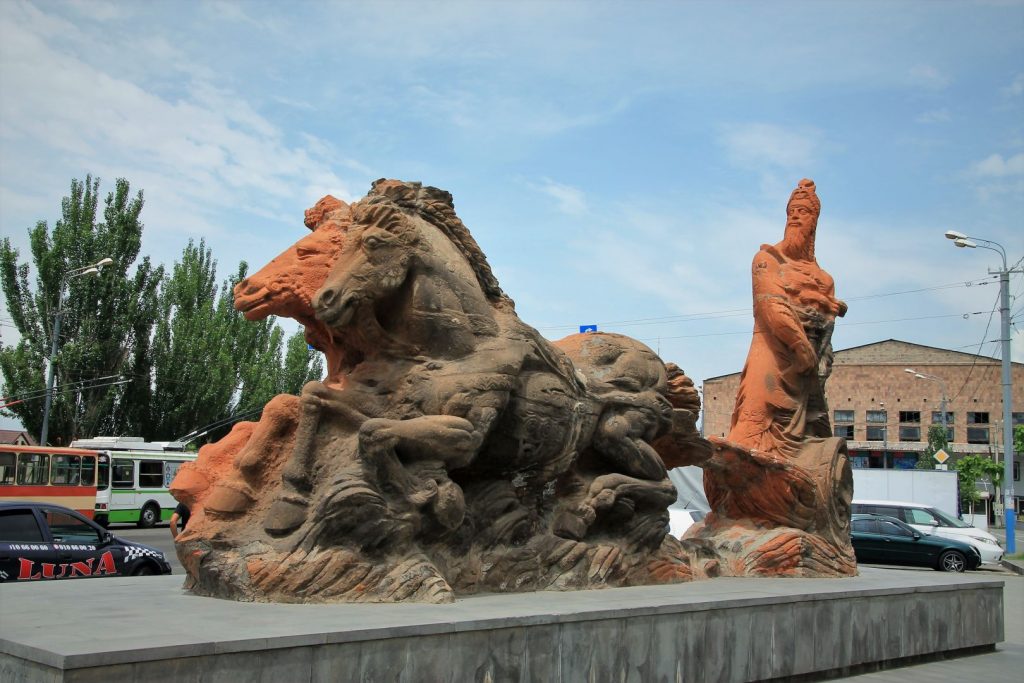
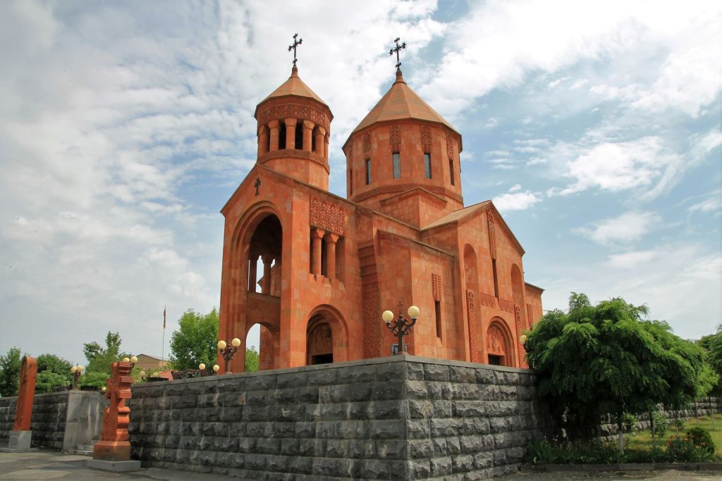
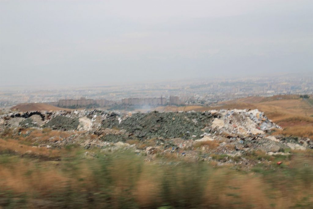
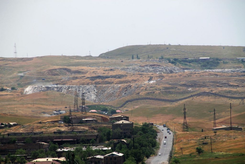
South of Erebuni district , on the southernmost border of the city centre, there is the Nurabashen district. Nurabashen is worth a visit due to its nice and peaceful central park with the memorial of the WWII and the Holy Martyrs Church, a quite new church opened in April 2015 in commemoration of the 100th anniversary of the Armenian Genocide. Nurabashen unfortunately is also known for the rubbish dumps and the landfills around it – which stinks, in the truest sense of the words. They actually just throw their waste into the nature between the rolling green hills. Who knows which of those hills is artificial and which is natural? I wanted to take pictures and asked the driver to stop on the roadside but he did not and ignored the request completely. I conclude he must have been ashamed. So I only have a picture from the moving cars window.
Azat Reservior
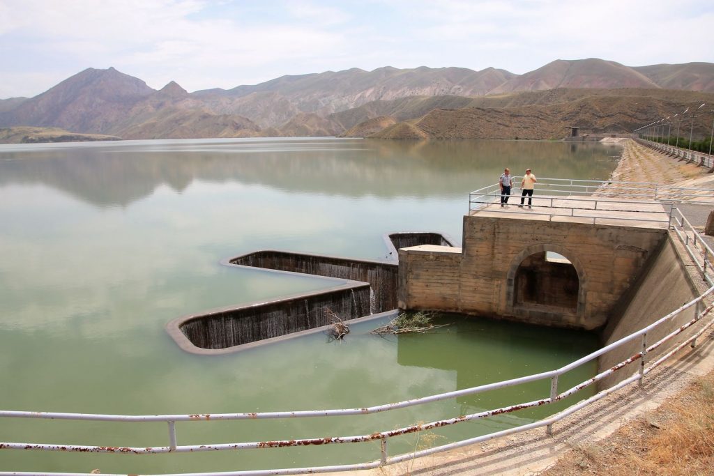
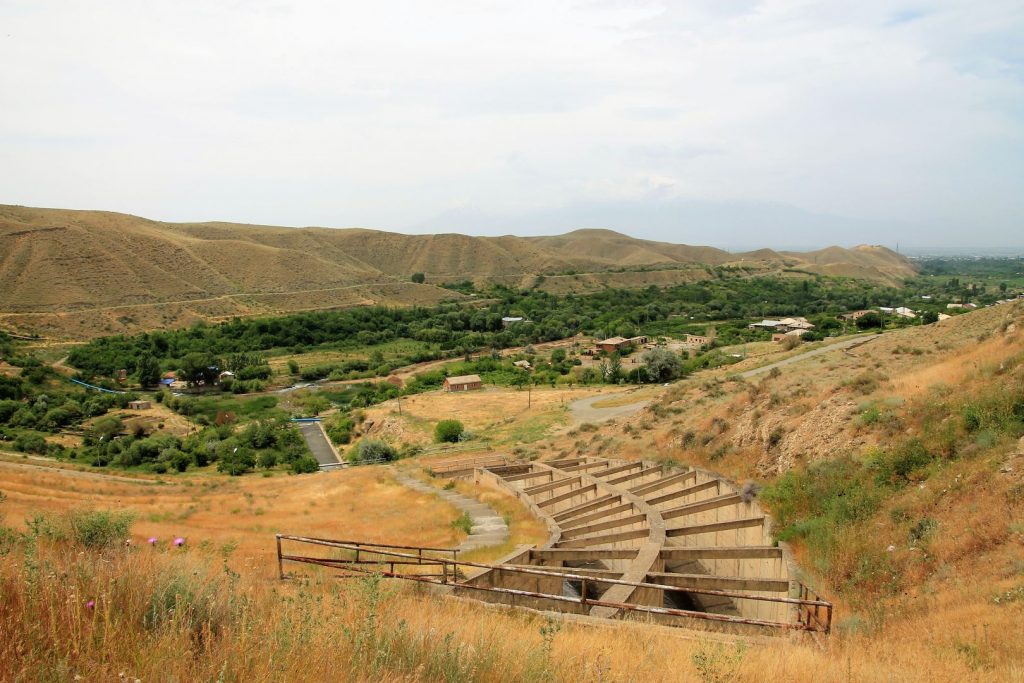
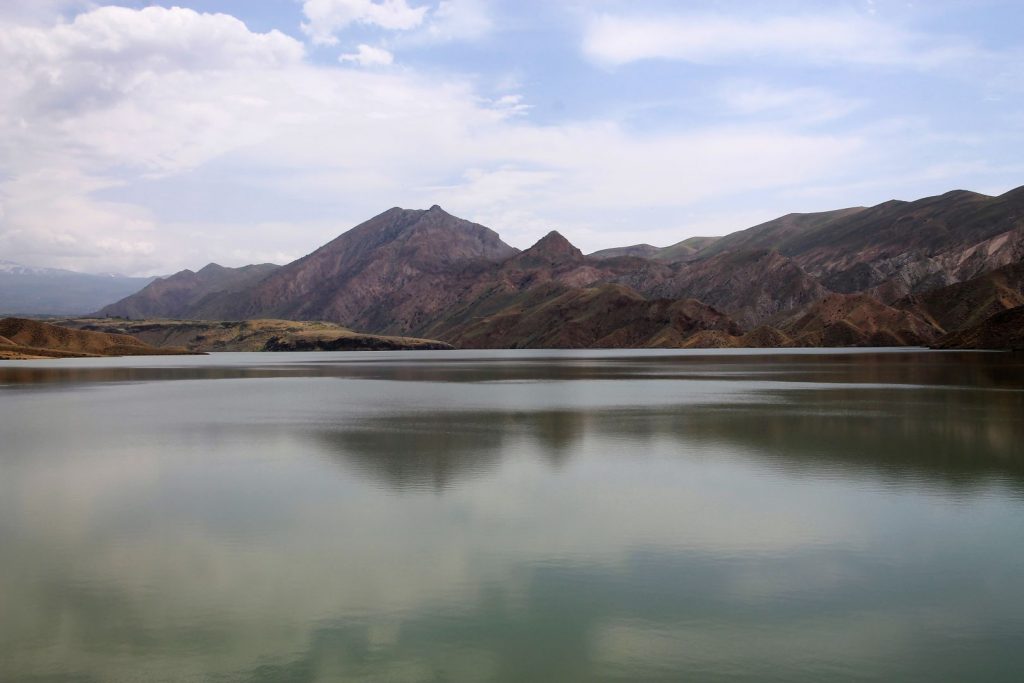
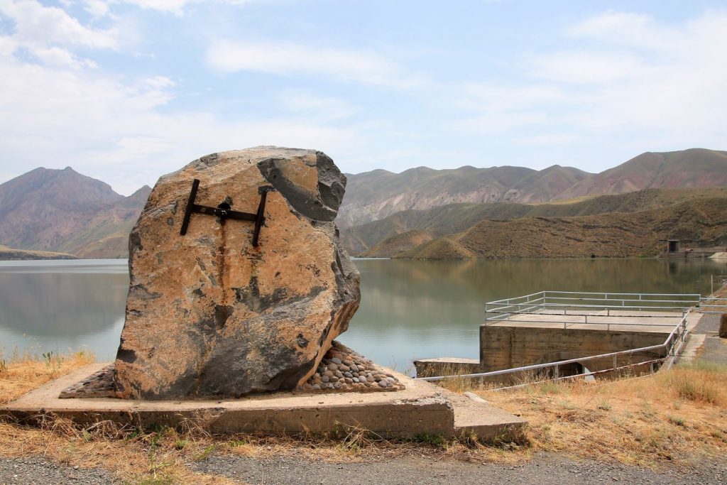
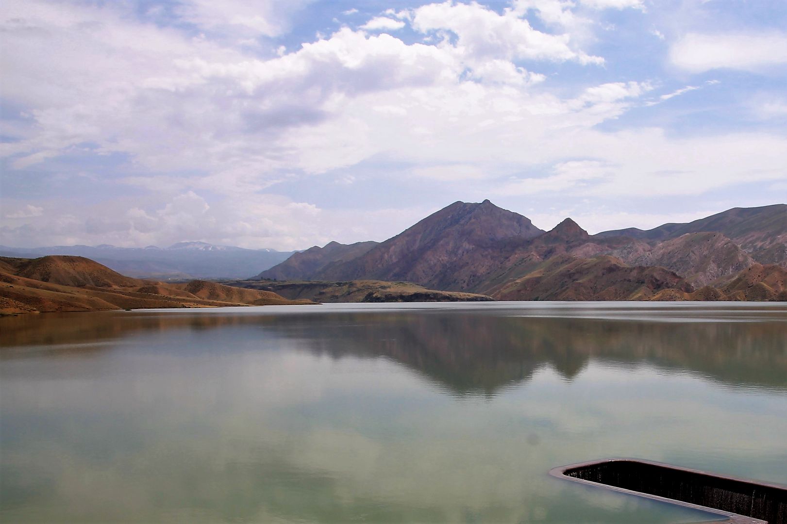
Shortly after River Azat has passed Garni Temple and leaves the Khosrov Forest State Reserve a dam blocks its way, creating a huge lake and producing electricity. Surrounded by mountains and with its flowers during spring time it must be a magical place. It seems that policy for the reservoir has changed: It is fenced and guarded and officers would not allow any tourists to visit the shores of the reservoir. Luckily our driver as a local had a chat with the guards and somehow persuaded them so that one of them finally guided us up to the dam, under observation. Pictures were not allowed with exception of the mountains in the distance on the other side of the reservoir. My camera got checked and I had to delete several of my pictures, still one remaining showing where the water flows down into something that must be the funnel to the turbine, and another one of its exit on the other side.
