Last updated on 20th March 2025
Moreton Island
Daytrip to Moreton Island
People told me Moreton Island is like Fraser Island but smaller. In fact, it is the third-largest Sand Island in the world. It has the sand, the native forest, the lakes and beautiful long sandy beaches, just like Fraser Island. It is located 40 kilometres northeast of Brisbane. The island consists nearly entirely of sand, apart from a small area of sandstone and rhyolite at Cape Moreton. It is also home to the highest coastal sand dune in the world, Mount Tempest.
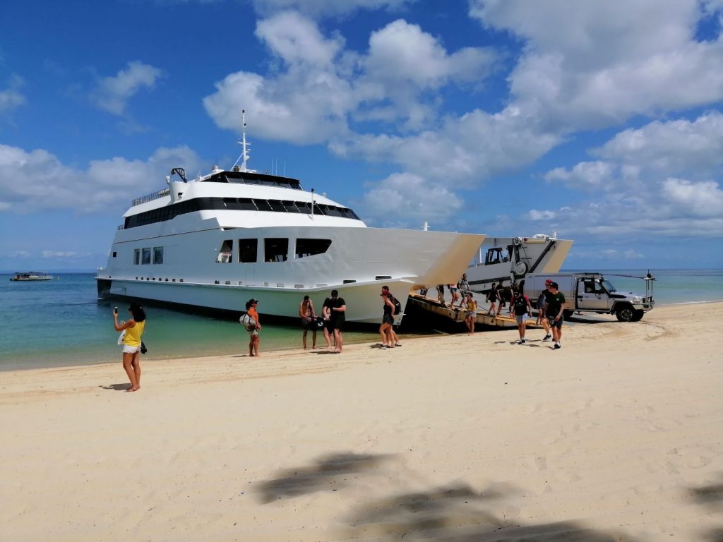
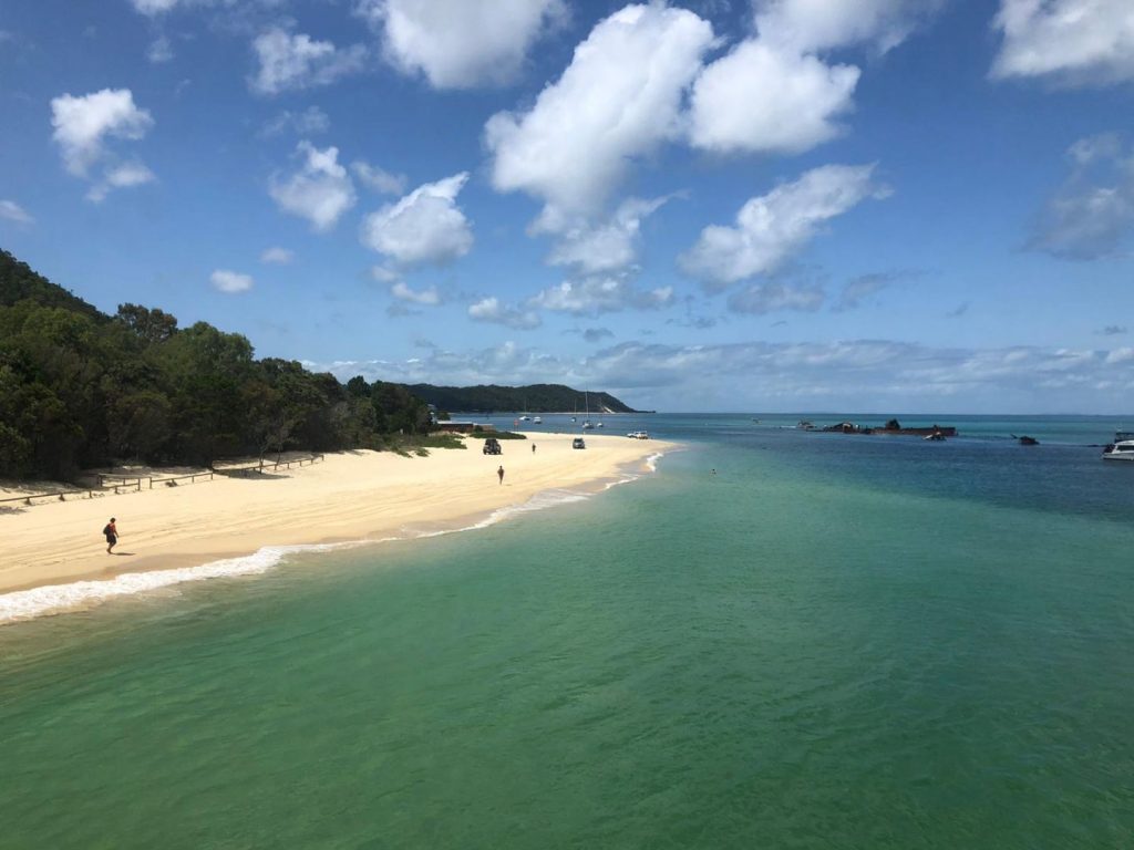
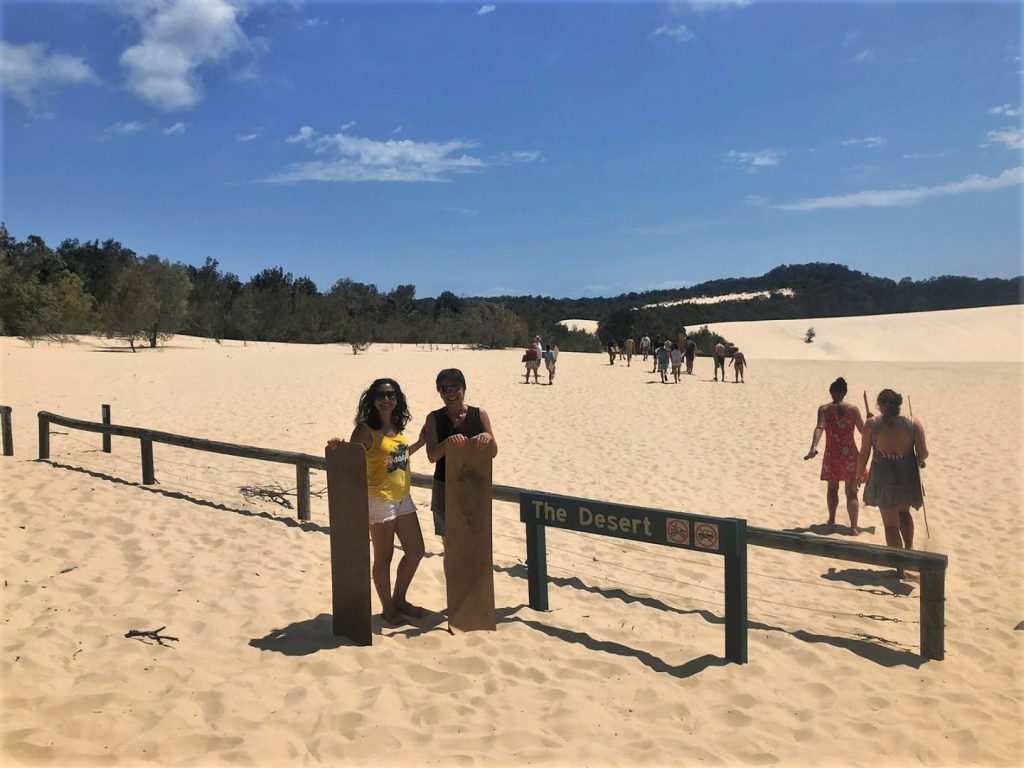
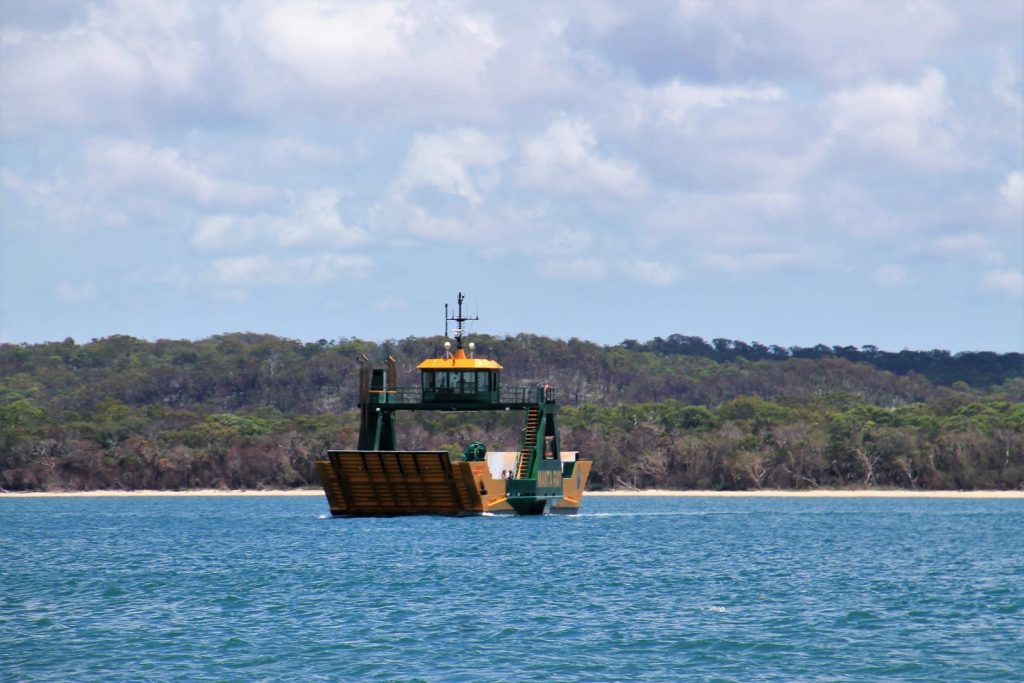
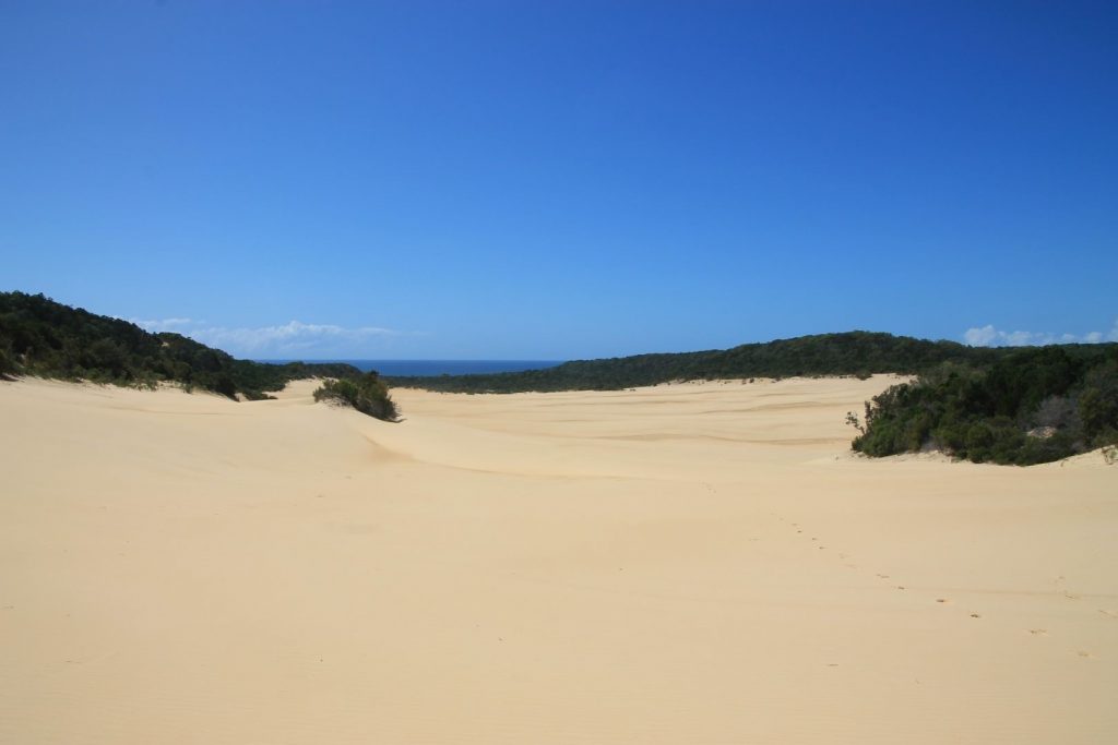
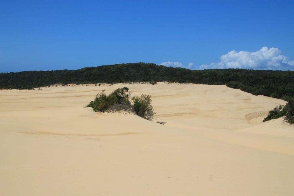
I had booked a day-tour that took us onto the island. Picked up by the tour bus, we jumped on a ferry crossing Moreton Bay and landed directly on the sandy beach of Moreton island near the Tangalooma wrecks. Already from the ferry far away we spotted the bright yellow dunes among the trees of the natural forest along the coast. This sight of the sandhills is all amazing as they are rising up to 60 metres above the ocean, shaped by the wind. Inside the island, the sand forms a desert-like place, free of vegetation, formed by natural erosion and sand that is moved around by the wind. That’s where we went for sandboarding and that was the reason I wanted to go on this tour.
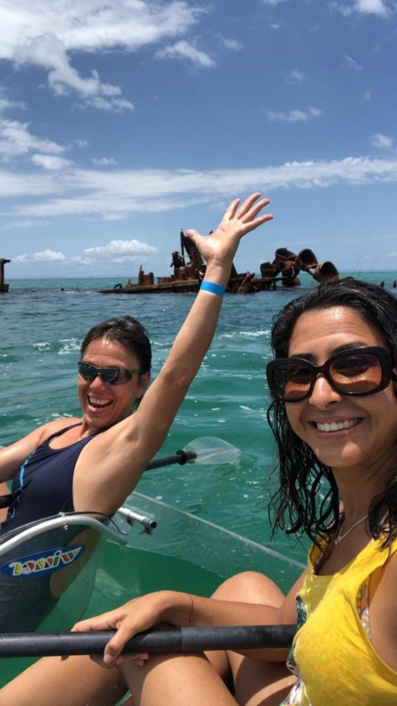
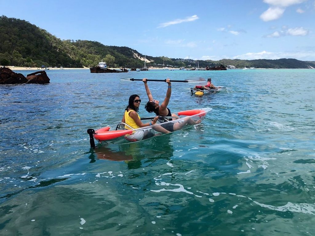
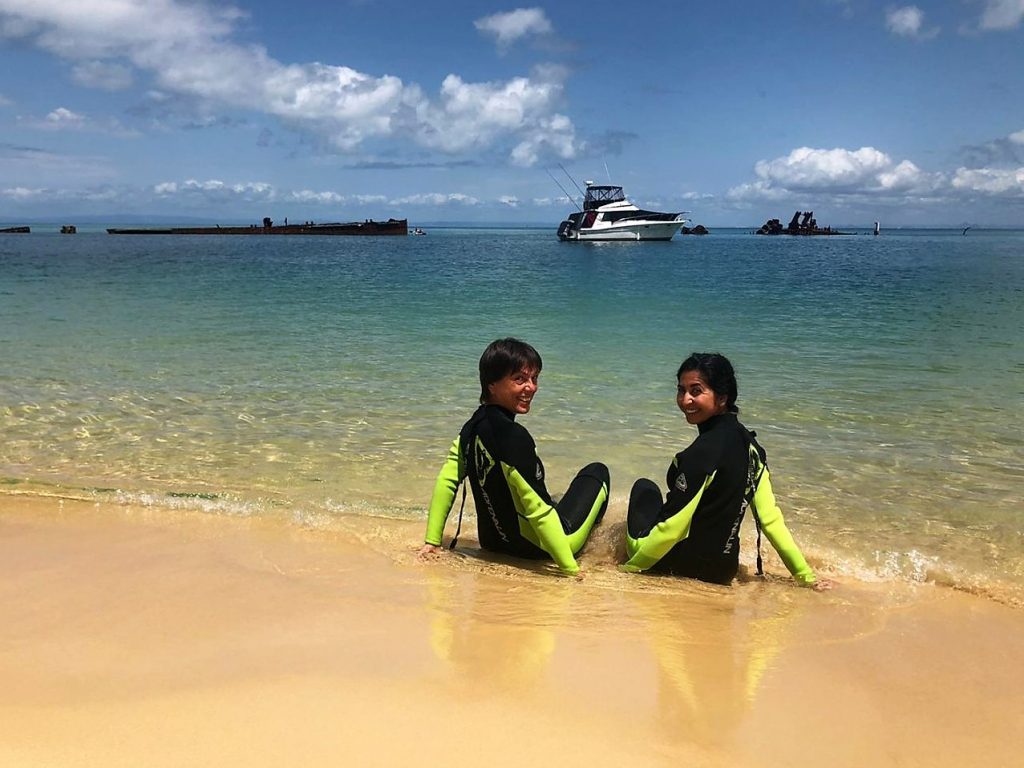
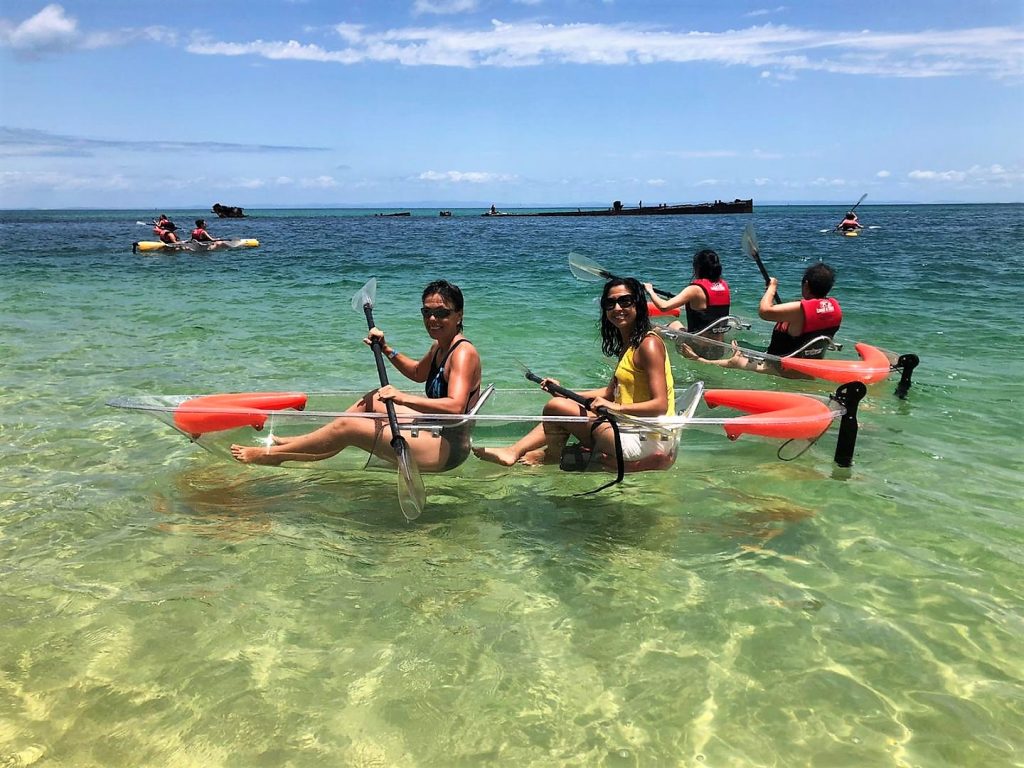
Our activities on the island were well organized and filled all day. We went snorkeling around the shipwrecks. The wreck provides habitat for plenty of fish and many different types of coral have settled on it. It’s an interesting sight. Another fascinating way to see the wreck , fish and corals was kayaking around in glass-bottom kayak, actually, the entire kayak was made from see-through plastic-type material. Our guide fed the fish so we got loads to see.
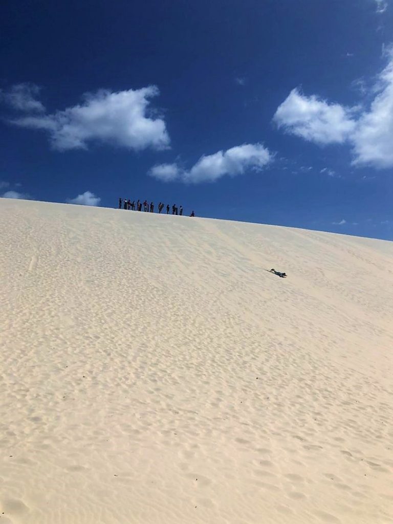
In the afternoon we had a short 4×4 bush drive until we reached the desert. It was hot, I mean really hot. It felt like an oven. We got an instruction, got a gentle push and off we went sliding down the hill, a very steep hill actually. Consequently, most people ask for only a little or no push. Without the push, one would stall halfway. That happened to me twice until I finally got a powerful push and slid down all the way into the valley.
Climbing up that steep hill again for the next ride was a huge effort because of the heat, we were covered in sweat, the sunburned our skin, the blood was nearly boiling blood and we were breathing steam-hot air. Therefore, no one attempted more than three times.
And how was it? Amazing! Hard and bumpy, and fast if you wish. The board is made from thin plastic or cardboard, little less than the height of my body. We had something to wax it, otherwise, nothing slides on the sand. It was so much fun! But one needs to be careful! One guy forgot to close his mouth, screaming joyfully, until he got a mouthful of the sand steaming around him during his bumpy ride. For us, it was a good laugh, but for him, it was badly gnashing teeth.
Sailing around Moreton Island
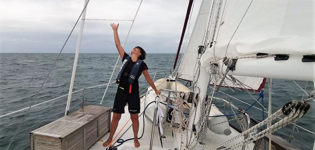
Moreton Island saw me twice. The second time from the distance sailing around it. I was lucky enough to be on a sailing trip on a private sailing boat called “Imagine” for two days. It was a couple from New Zealand sailing along the Australian coastline and eventually, later this year, after the cyclone season has passed, they would undertake a passage to Vanuatu Islands and Fiji.
The couple had sold all their possessions in New Zealand and bought the “Imagine” which is now their home. They were looking for deckhands and I thought I could give it a try.
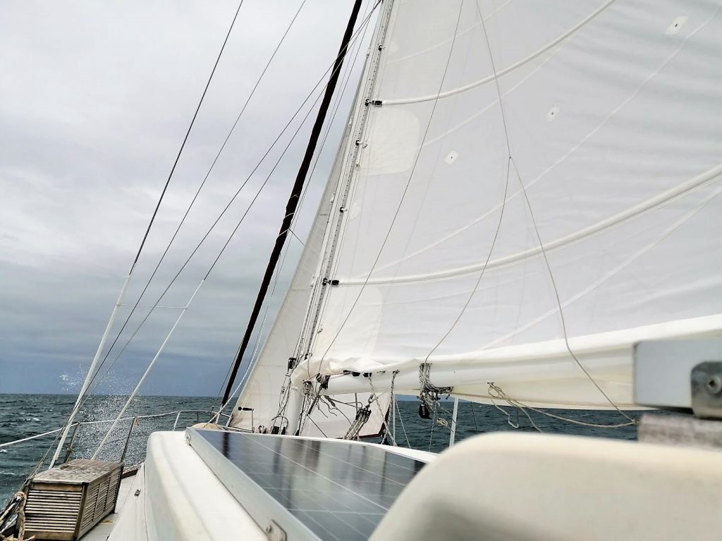
We were sailing the coastal waters of Brisbane for two days in slightly windy and wet weather conditions. I was allowed to do the steering and learned how to follow a course, learned to read the gauges, helped to set the sails. And I learned a lot about the weather and the ocean and how it feels to be on the water. I did not get seasick! But I was surprised to learn that the swell of the ocean is always there, especially when traveling off the continental shelves. Maybe one day I will go on a passage with them.
Fraser Island
Three days and two nights on Fraser Island
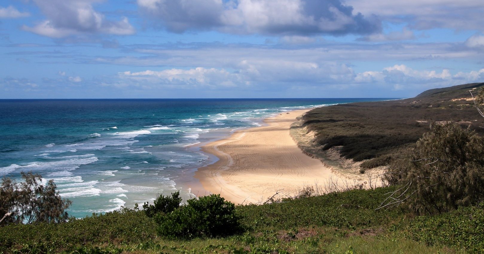
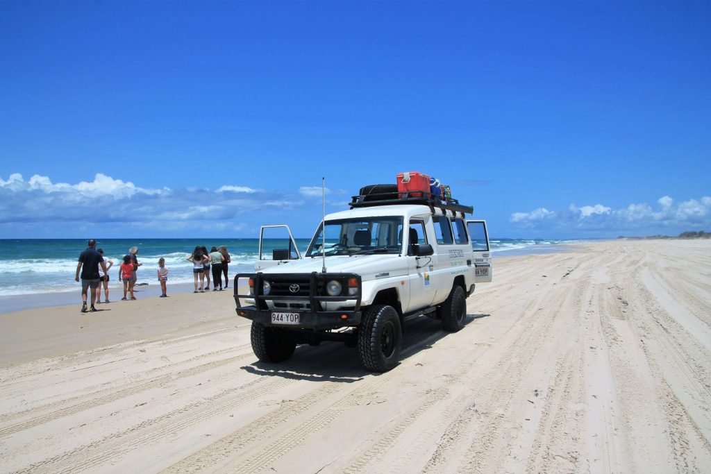
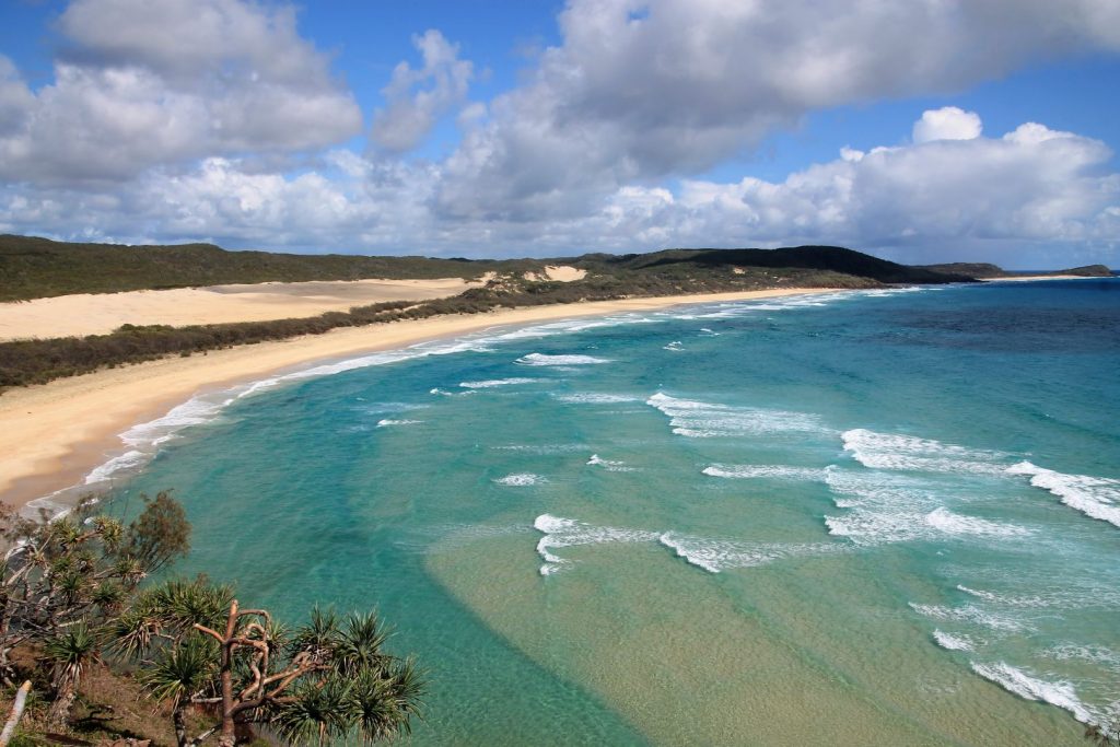
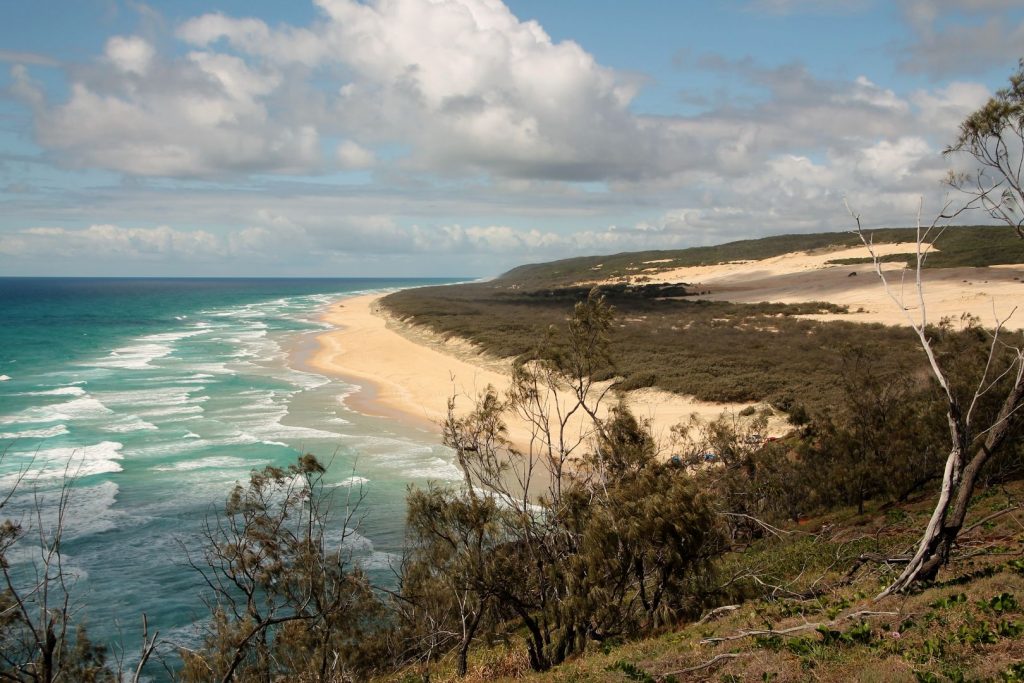
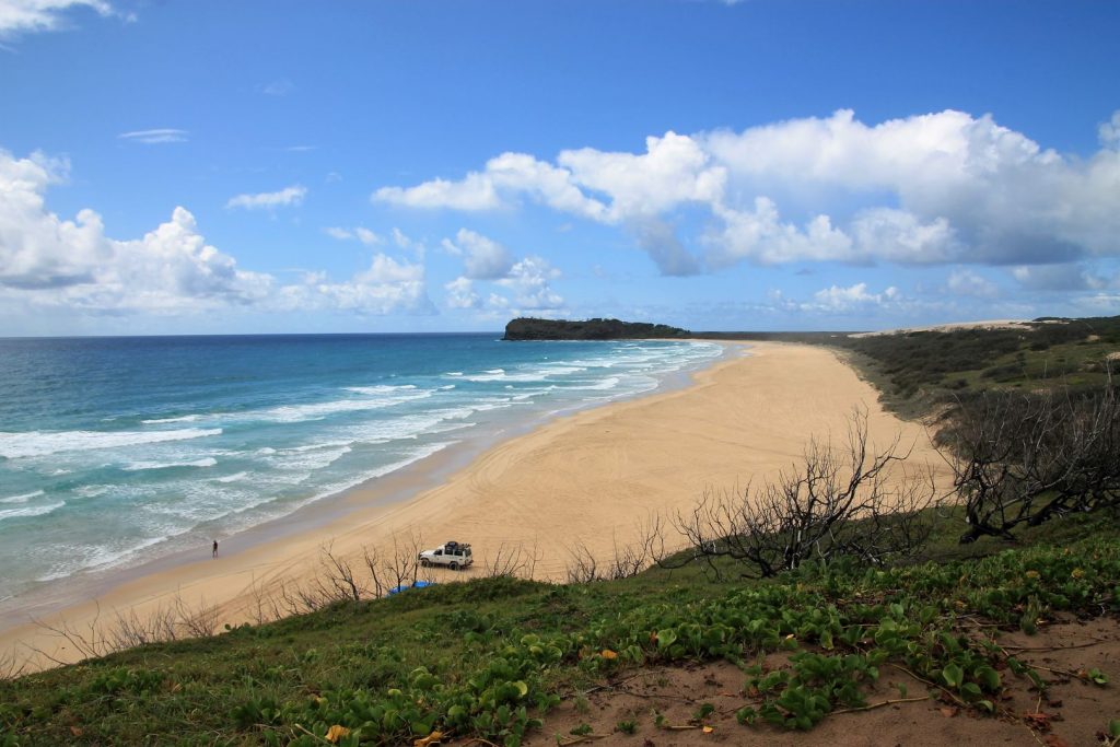
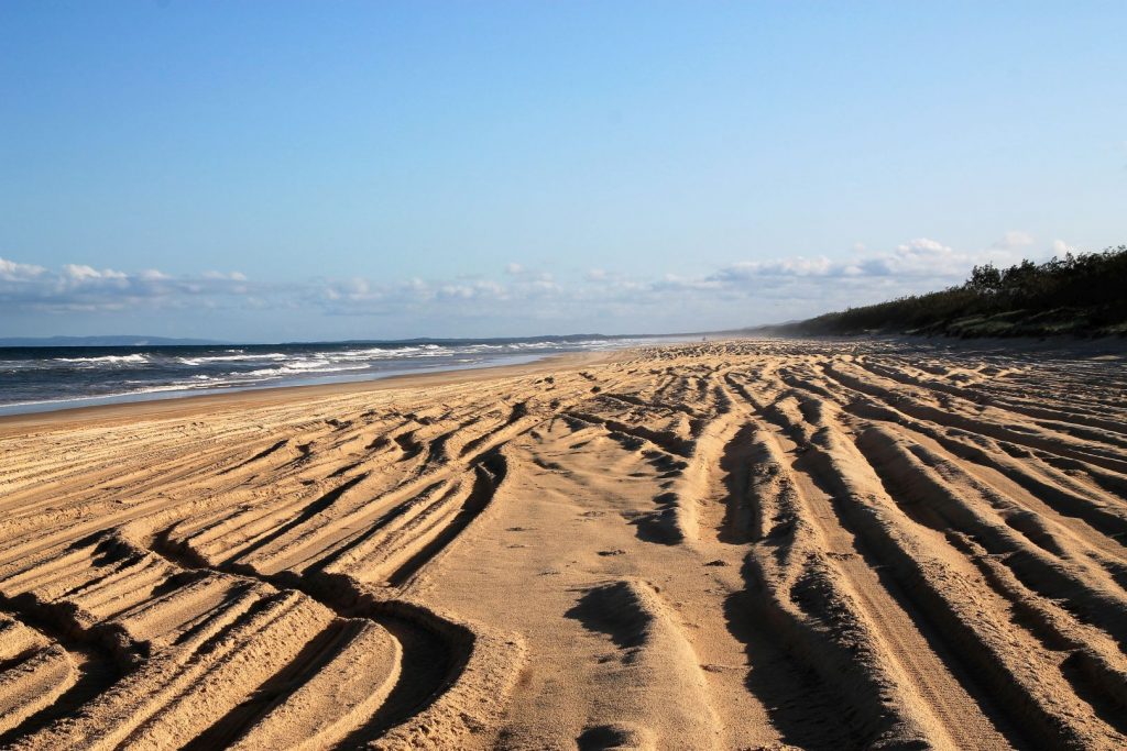
Fraser Island is a MUST DO on the east coast of Australia. It is the world’s biggest sand island and of extraordinary beauty: it has sandy beaches, especially that one long 75-Mile Beach that stretches all along the entire eastern coastline of the island and on which all the 4x4s cars tag-along; it has the native rainforest, which is fascinatingly entirely growing on just sand (!), and wildlife, especially the dingoes; it has the unique lakes and sand dunes, as well as its infamous history. So I booked a tour that took me for three days and two nights on the island. I could not book a tag-along tour where I could have driven the 4×4 car along the beach myself, but we had a 4×4 car driven very skilfully by a guide. With me were four young girls from Chile and a French family of four with two kids, departing from Brisbane.
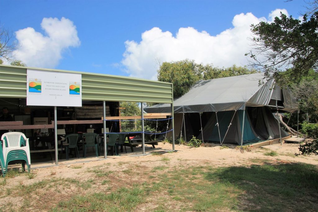
We stayed at the Dilli Village campsite. I had chosen that spot because it is next to the beach and we could go to the beach after sunset for stargazing. There is no light pollution on the island at all and so we had a perfect view of the stars and the Milky Way. That is a very exhilarating and unique experience. One of the two nights there were a few clouds covering the moon and so it was really dark. That enabled us to see the luminescent plankton that the waves bring to the beach: a gentle scratch with your feet over the sand will make them light up, it’s a very dim shimmer but it is visible and just magic!
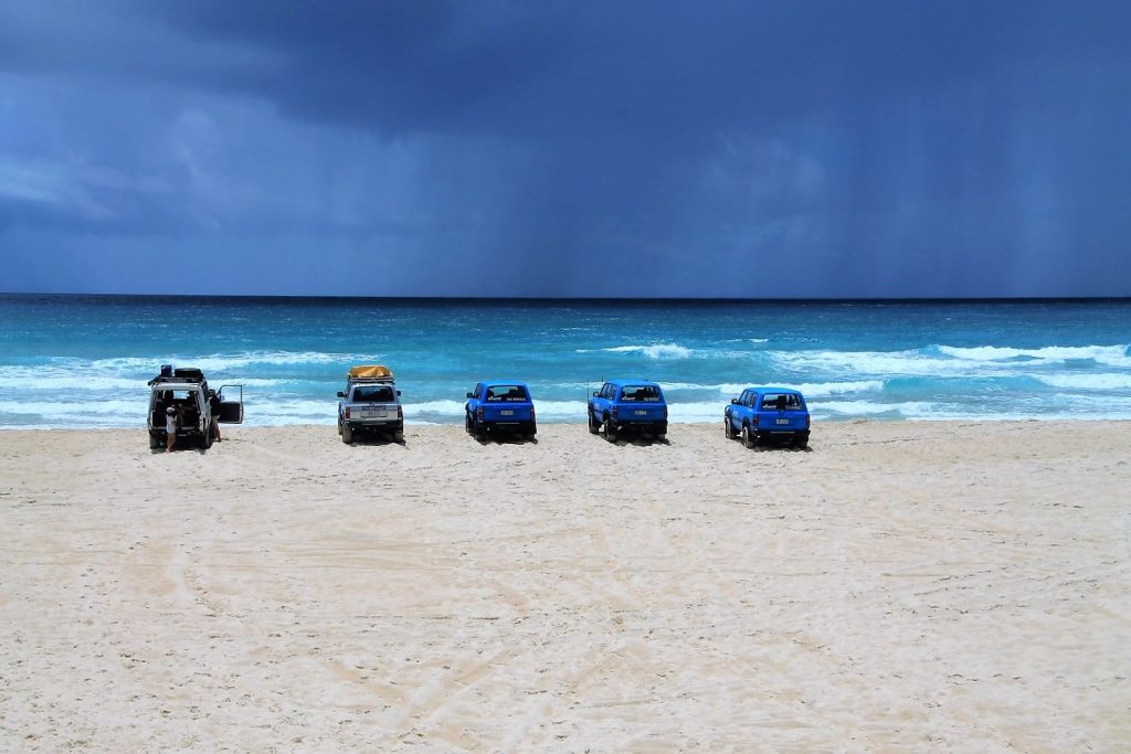
Our three days on the island were fully packed with adventures. The first thrilling experience was certainly driving with the jeep along that endless, broad and sandy beach. What a feeling that is! One can’t get enough. I never drove along any beach in my whole life! But swimming on the beach was not really an option as waves are powerful and currents dangerous, also it has jellyfish and the threat of unwanted shark visits.
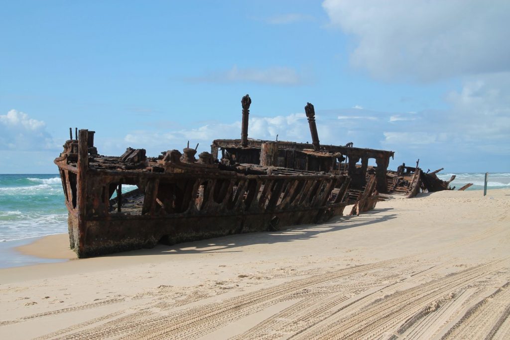
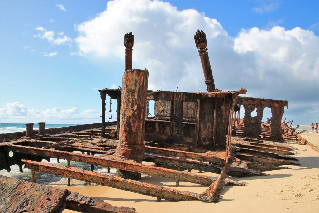
Following the beach, we encountered the shipwreck of the old SS Maheno. The ship ended up there after a heavy storm in 1935 and remained there since, slowly corroding away. I honestly think it is not such a nice view and far from a thing that one would call “attraction”. It’s closely watched by rangers who make sure no one climbs on it.
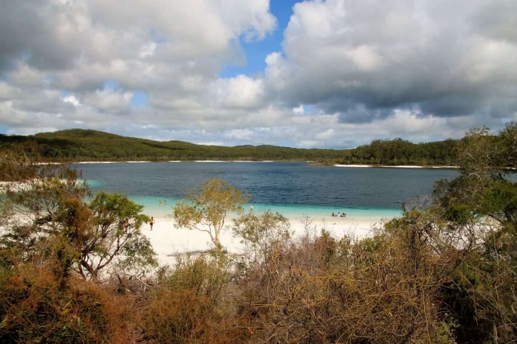
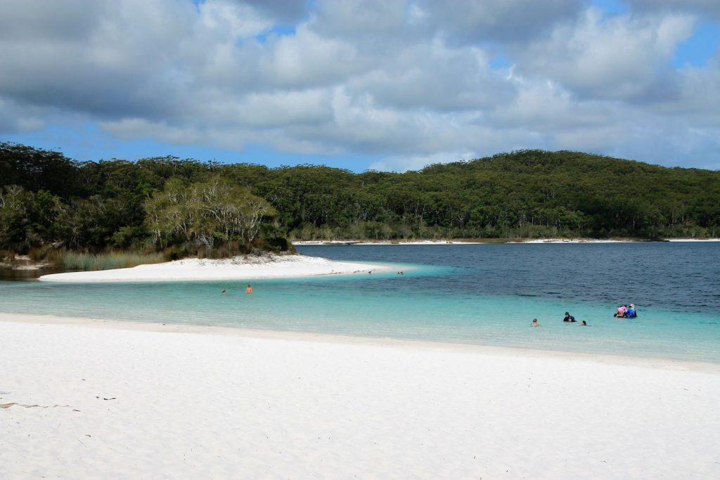
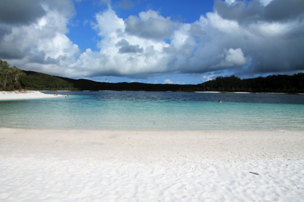
We turned away from the beach towards the inner island to visit Lake McKenzie. This is truly a natural wonder and the most amazing water I have ever plunged my body in. The lake is filled with water from raindrops only, no groundwater. A hardpan of decaying plant matter has settled over thousands of years on the lake floor forming an almost waterproof lining. The lake is slightly acidic, nestled in a unique environment of natural rainforest and fine, soft sand of pure silica, giving the beach a shimmering white colour. So white! And the sand acts as a filter, giving the water its clarity and helping to make it so pure that it can support only very little life. The blues and greens of the lake are endlessly fascinating! Swimming across that lake is a dream!
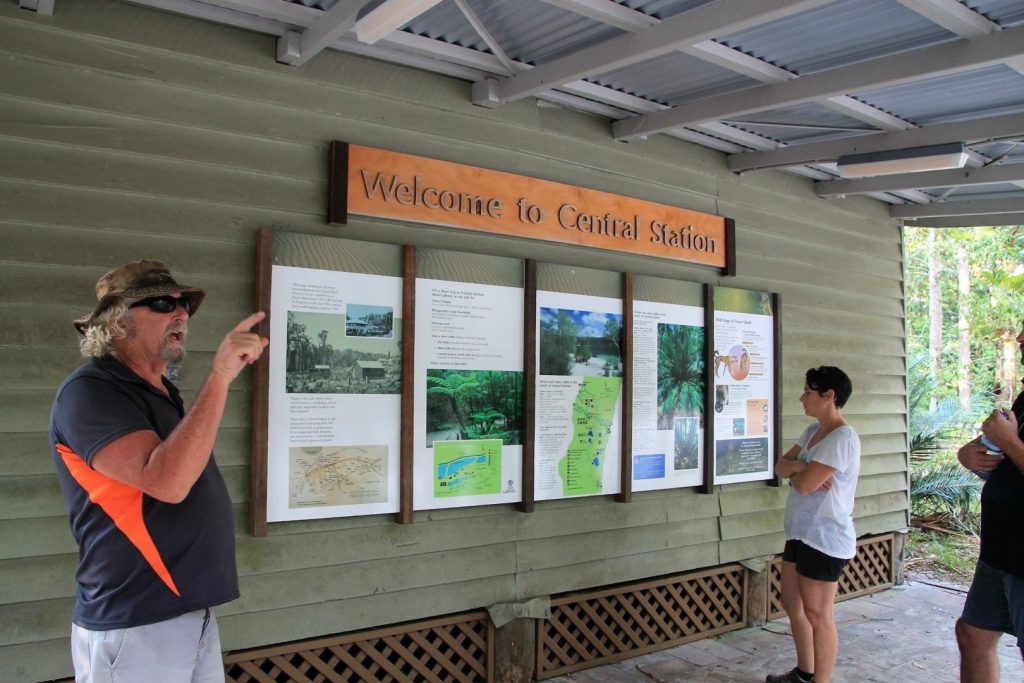
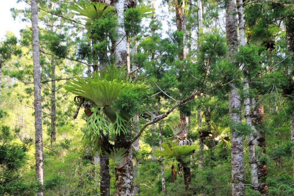
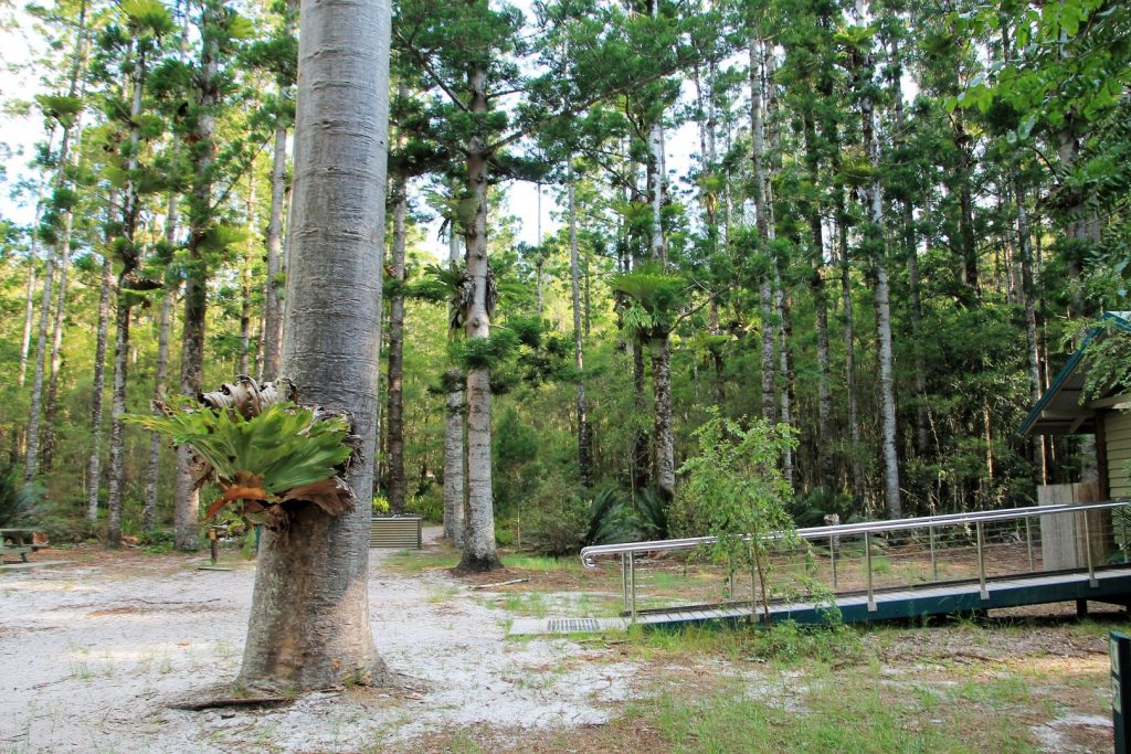
Not far from the lake is the Central Station on Wanggoolba Creek. This is the place to learn about the history of the island. The area around the creek used to be a women’s area and birthing place for the aboriginal people who lived on the island. European settlers have enslaved and/or killed them and hardly anyone survived of a population that used to be a few hundreds. The large clearing around central station was later the headquarters of Fraser Island’s forestry operations. From 1920 until the late 1950s heavy logging happened on the island. Luckily the people were smart enough to leave some trees behind. They called them seeding trees: certain species of trees that are big enough to seed the next generation of their kind. Thanks to them, the forest is back now, and being protected as a national park now, no logging is allowed anymore.
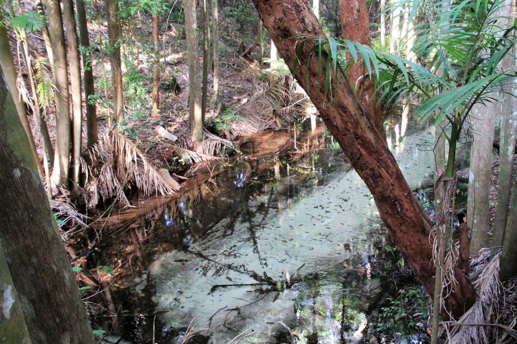
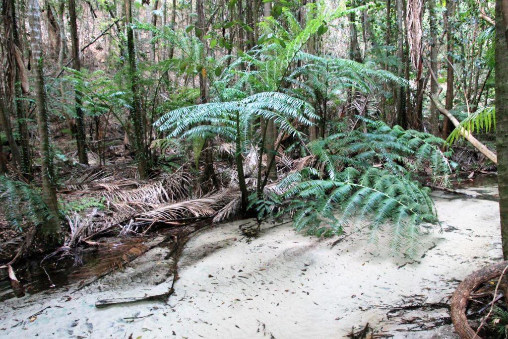
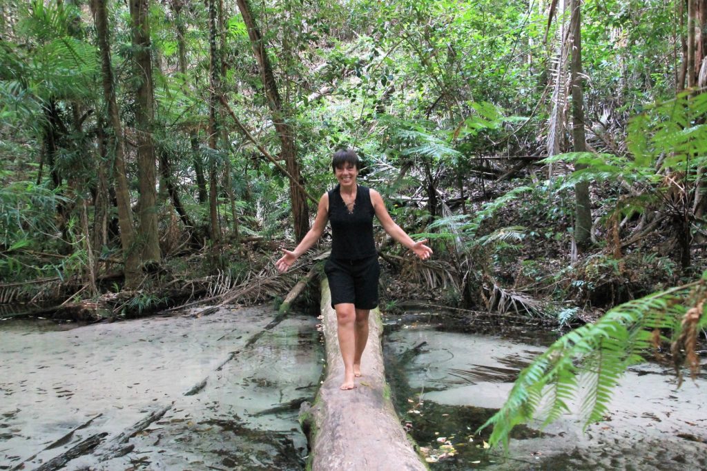
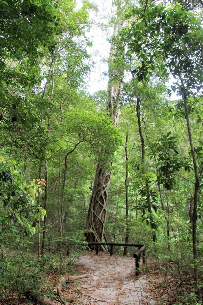
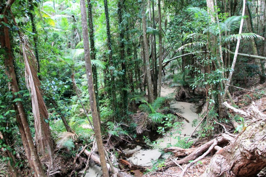
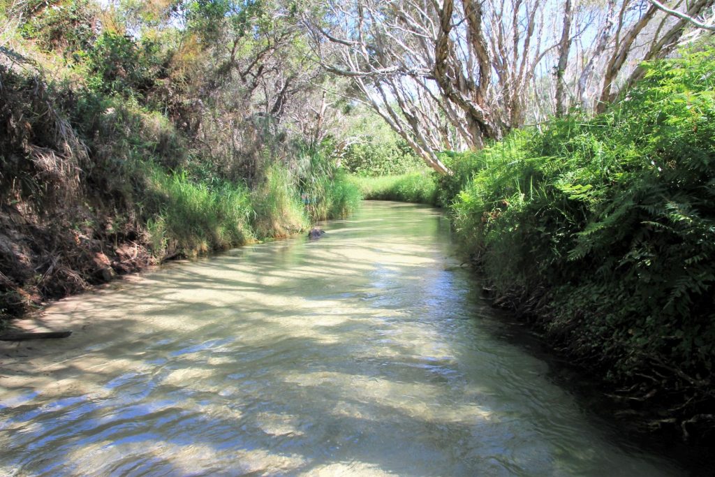
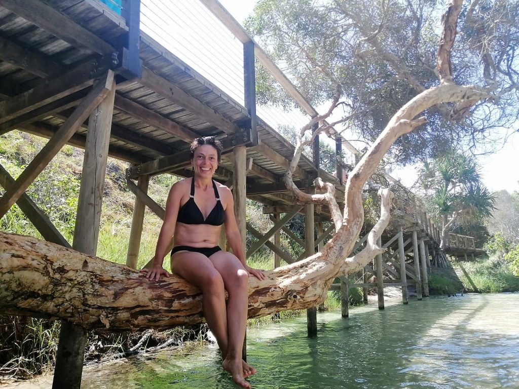
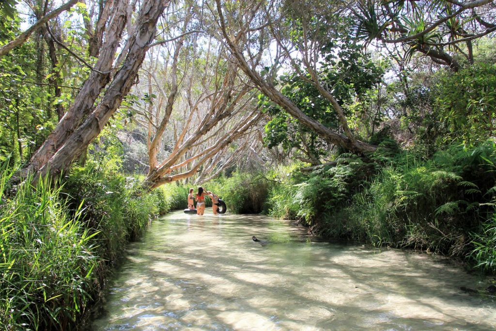
Crystal-clear freshwater flows silently through the rainforest along Wanggoolba Creek at Central Station. It is so clear that you cannot see the water on the pictures I took, only the sandy bottom of the creek. But it is water in there, about 20-30cm deep! We did the walk along the creek which features a boardwalk along the silently-flowing, crystal-clear Wanggoolba Creek, fringed with rainforest. It’s a magic walk among all those old and huge rainforest trees, except for the numerous mosquitos that tried to eat me.
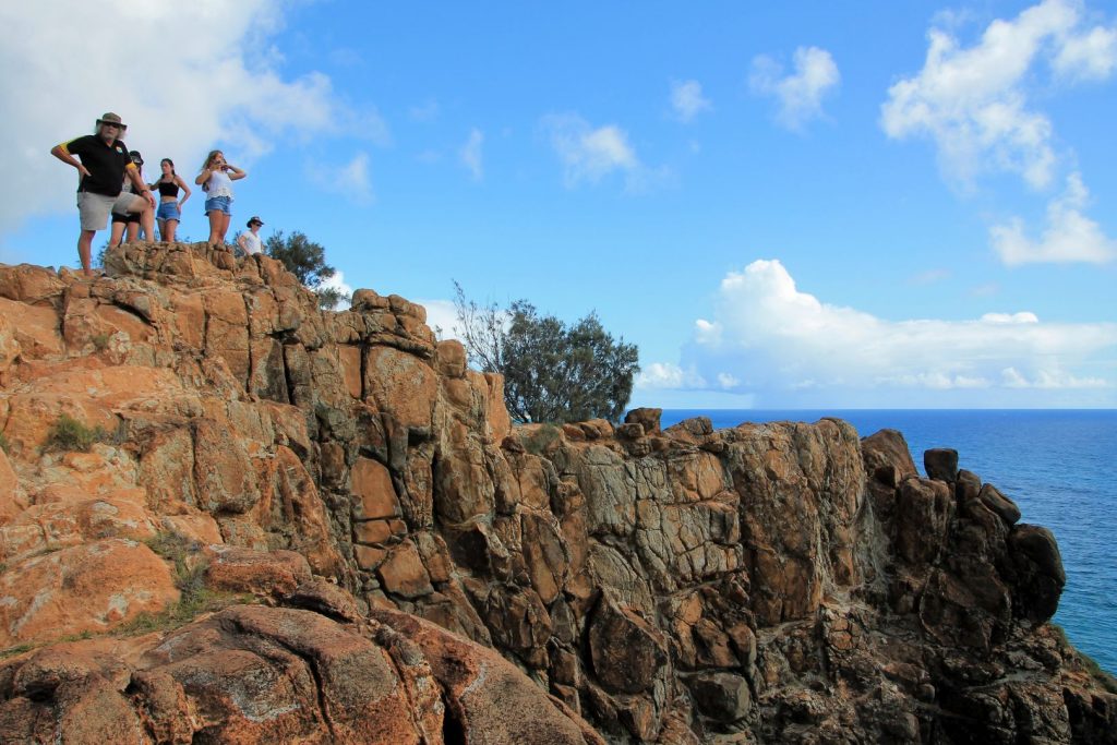
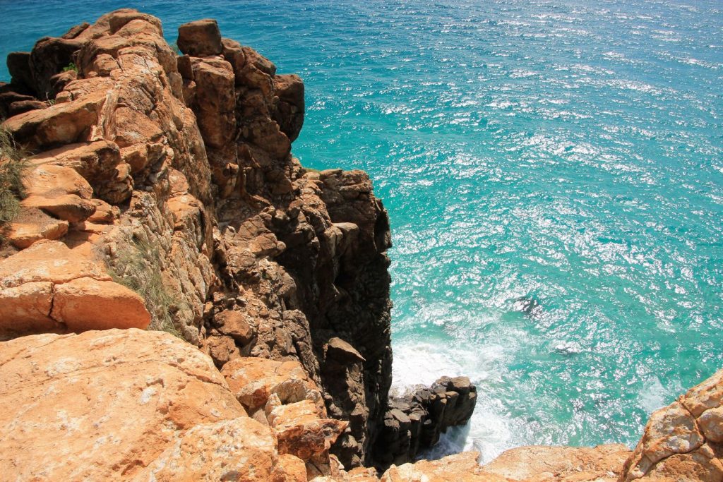
A little further along the beach, we reached Indian Head. It is a lookout point on top of a cliff that rises steep above the beach. It is the most easterly point on the island and offers a grand view. Captain Cook must have seen some Aborigines on the lookout when he first arrived and so he called it Indian head, as all native people at that time were called Indians. The grand view onto the clear waters of the ocean around the cliff often allows seeing some marine life around. When we were there we could see a big sea turtle swimming down below. Some other times it might be even possible to see mantas, sharks or whales.
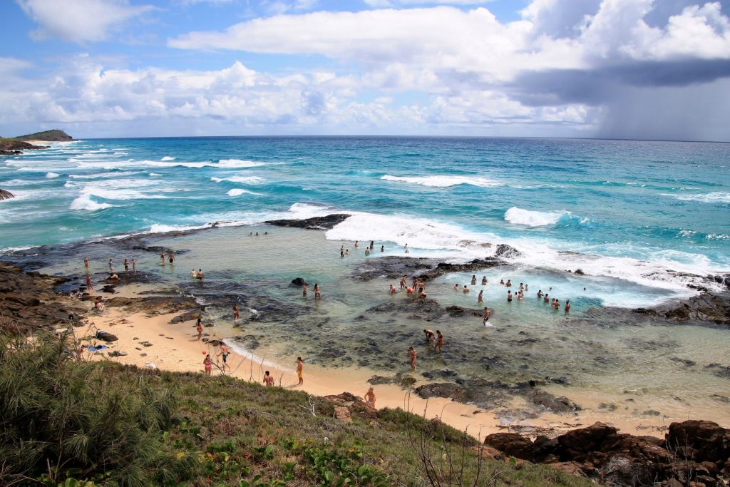
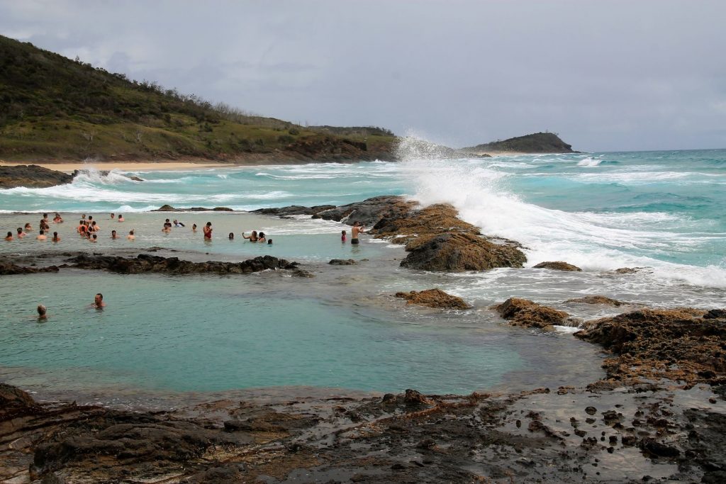
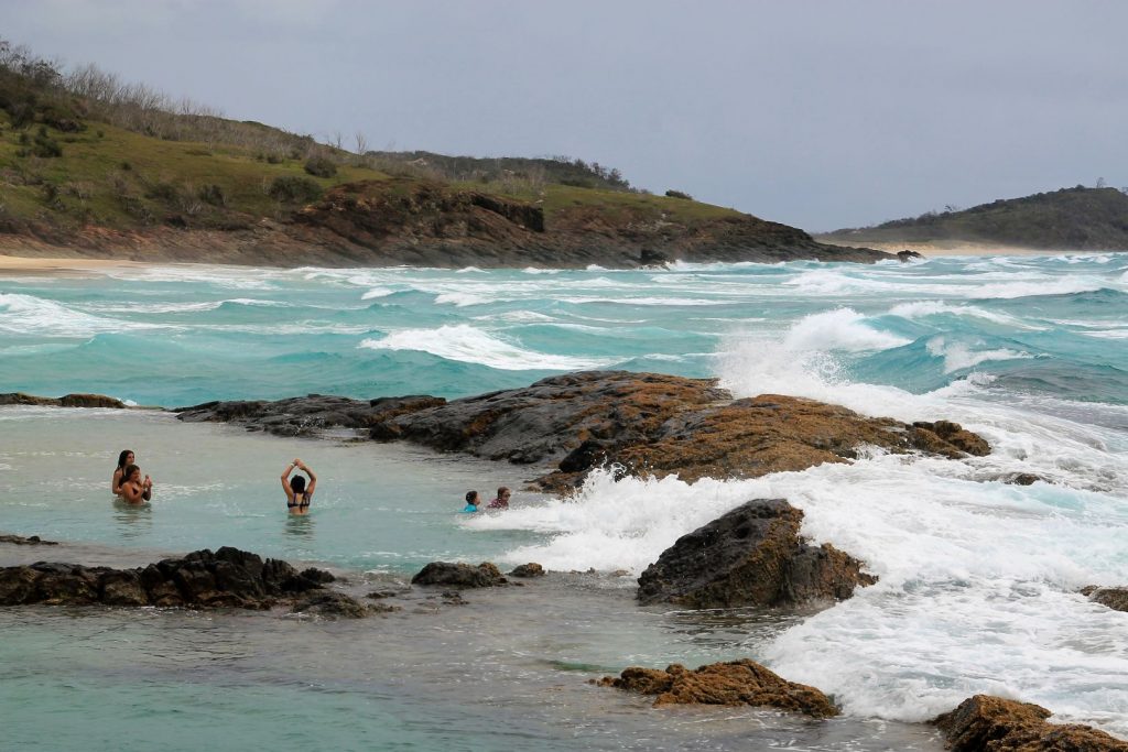
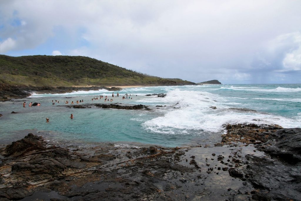
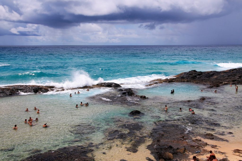
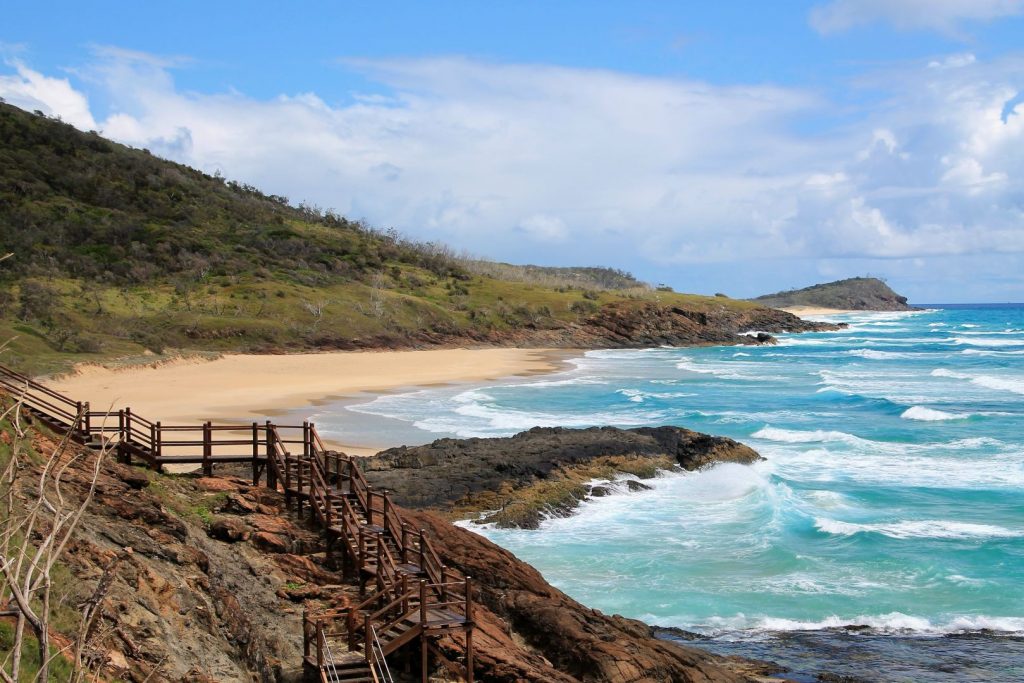
We left Indian head and followed the beach until we reached the Champagne Pools. A short boardwalk took us around the cliff and then we saw the pools and loads of tourists splashing around in them. The Champagne Pools are naturally formed rock pools in the form of shallow, sandy swimming holes right on the edge of the ocean with an impressive view of its surroundings. With each wave that comes from the ocean, the pools are renewed with water, creating a Jacuzzi-like feeling as sea-foam fizzes around the body for a feeling that gives this unique destination its name. While the Champagne waters cause delight with each wave, one should keep an eye out for large waves! They sweep into the pool periodically, and can sometimes catch people unawares, the surrounding rocks are sharp and the water can even bring in some fish. The Champagne Pools are the only place where one can enjoy the ocean waters safely.
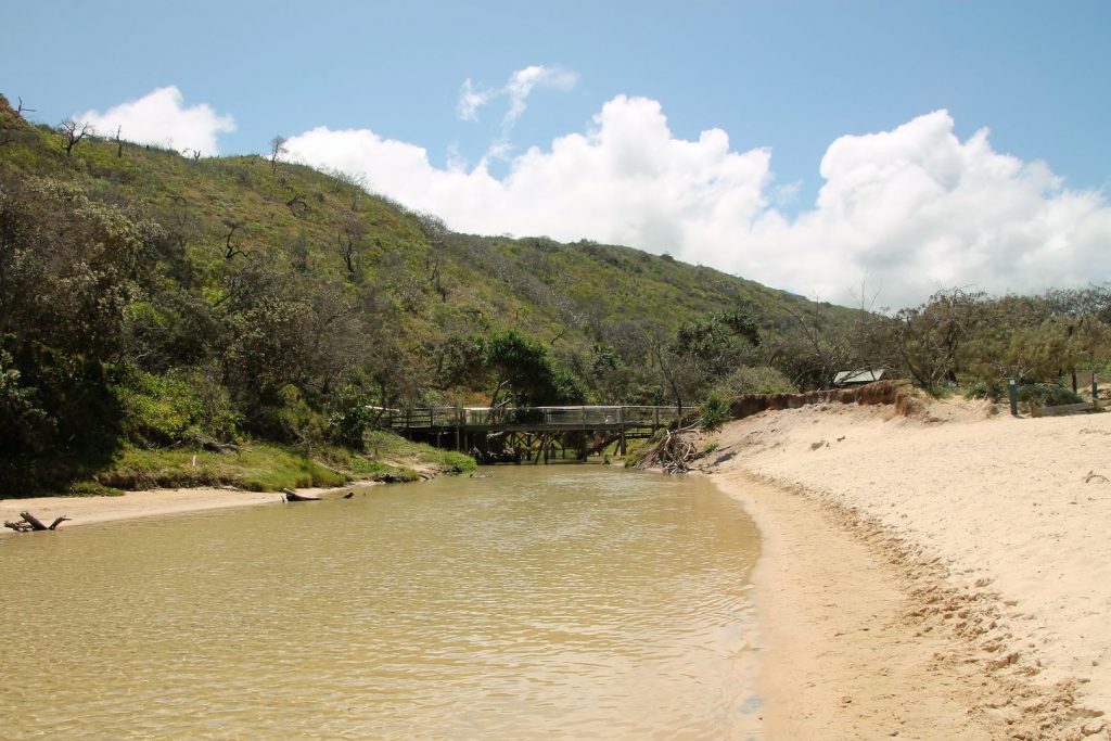
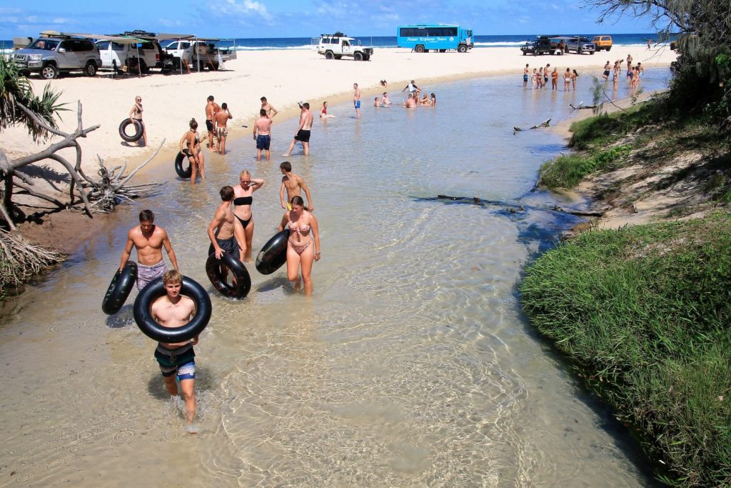
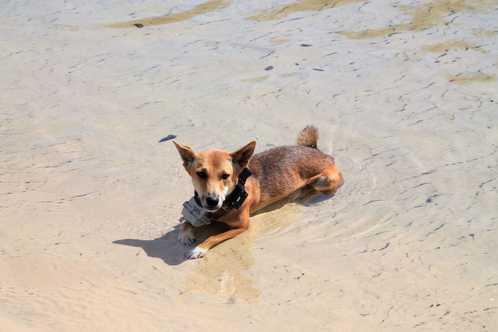
On our way back we stopped at Happy Valley for ice cream and Eli Creek for a swim. Eli Creek is the largest freshwater stream on the eastern coast of Fraser Island. The water comes in a considerable strong stream down to the beach, it is exceptionally clear and really cold. Very refreshing on a hot summers day! Eli Creek has a boardwalk along its lower end on which we could walk up the stream for a few meters and then jump into the waters and float downstream with the current. Some people had big tubes to float on but the water was not really deep enough for them. In any way, it’s fun and refreshing! And here I saw the first dingo, surprisingly in bright daylight, he was lying in the water for some cool down and then wandered around to find some dropped food among the tourists. Everyone kept some distance, respectfully. The dingo was wearing a big heavy collar. I believe that some scientists exercising this torture for their researches.
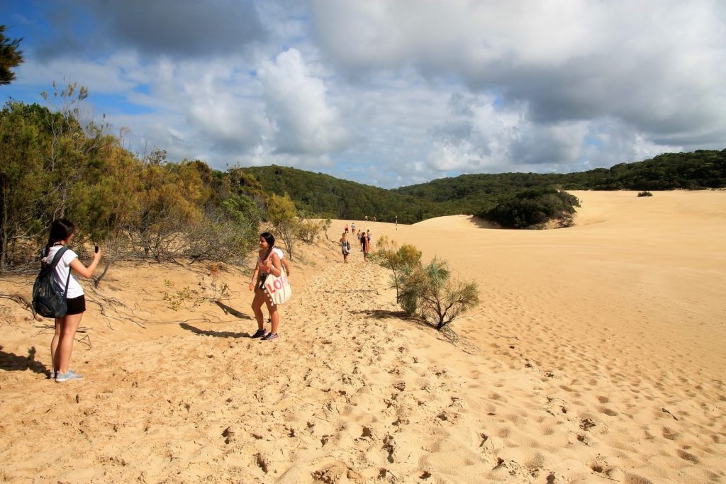
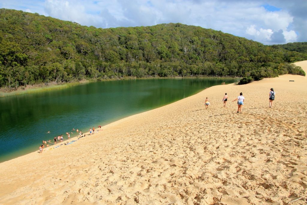
We spent our last day almost entirely on Lake Wabby. It is a 2km walk through the forest and the dunes until we reached the lake. In contrast to Lake McKenzie, Lake Wabby is green. It is far less acidic and therefore habitat for many species of fish. One species is a tiny one that nibbles on people’s skin and gives that funny feeling. The lake is directly adjacent to the Hammerstone Sandblow, a mighty dune, which is slowly moving into the lake and will eventually bury it completely underneath it. The sand dunes around the lake are immense, very steep and it gets really hot during the day. It feels like a real desert, the place is much bigger than the desert on Moreton Island where we did the sandboarding. It is an amazing experience to walk around on those vast dunes and explore the area as if one is dragging oneself through the Sahara. Just the surrounding trees and shimmer of the ocean in the distance make a difference. Swimming in Lake Wabby is refreshing but by far not as nice as Lake McKenzie.

